- Revolutionary War (1775–1783)
- 42.3601° N, 71.0589° W
Freedom Trail
Boston, Massachusetts · Established 1951
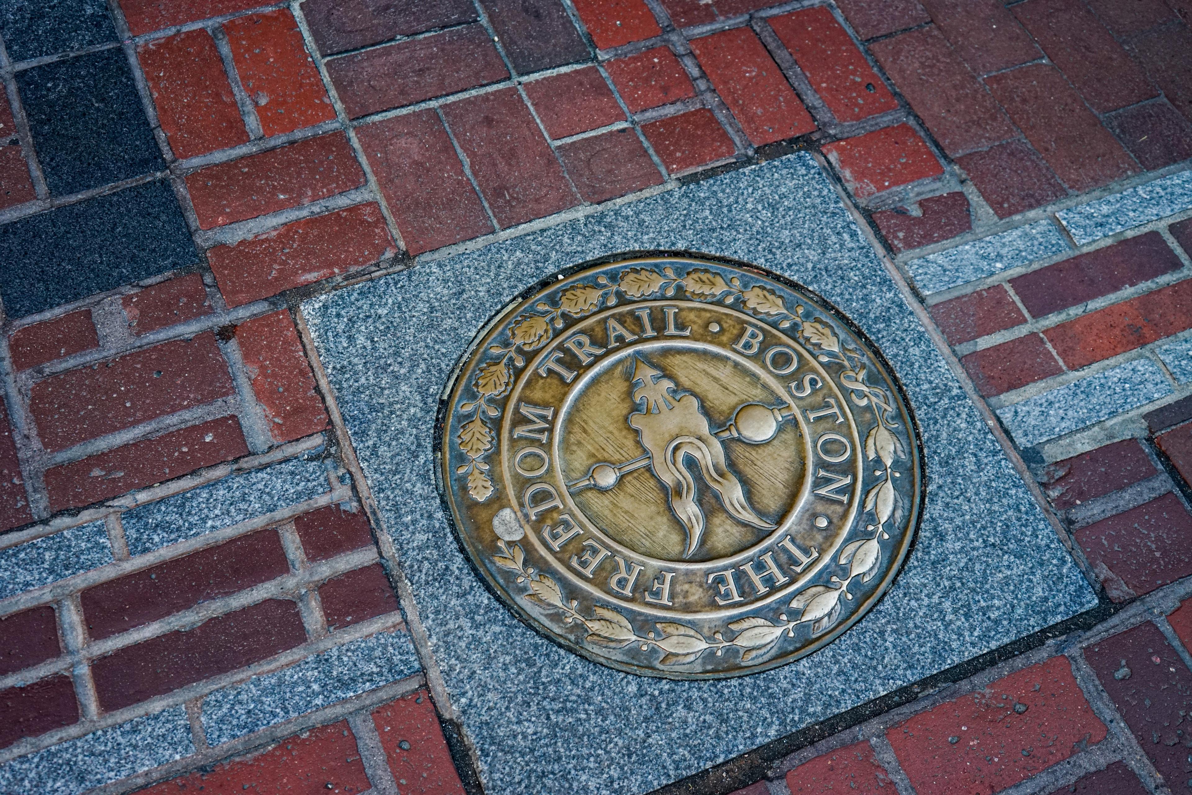
Nina R from Africa · CC BY · via Wikimedia Commons
Why It Matters
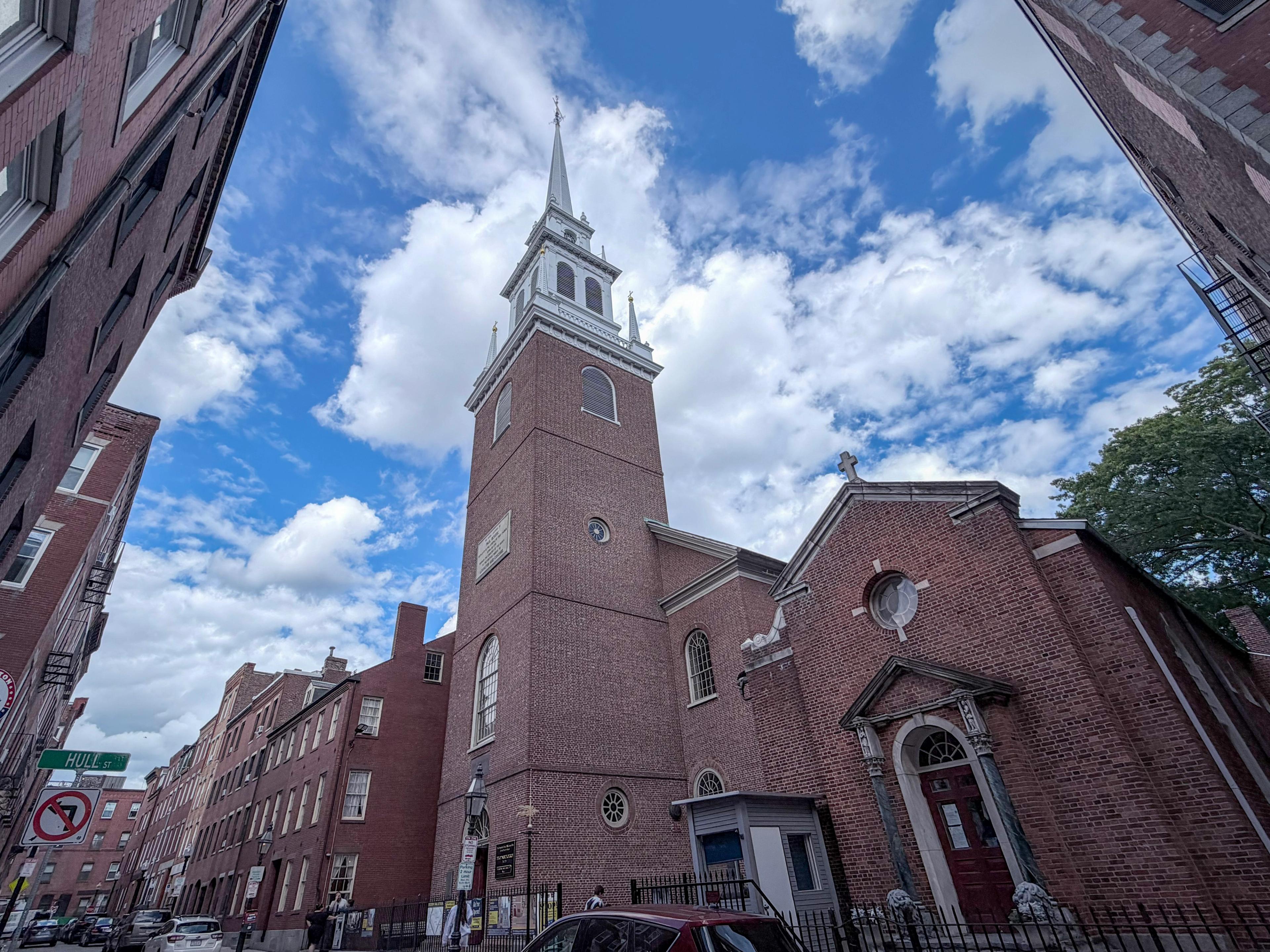
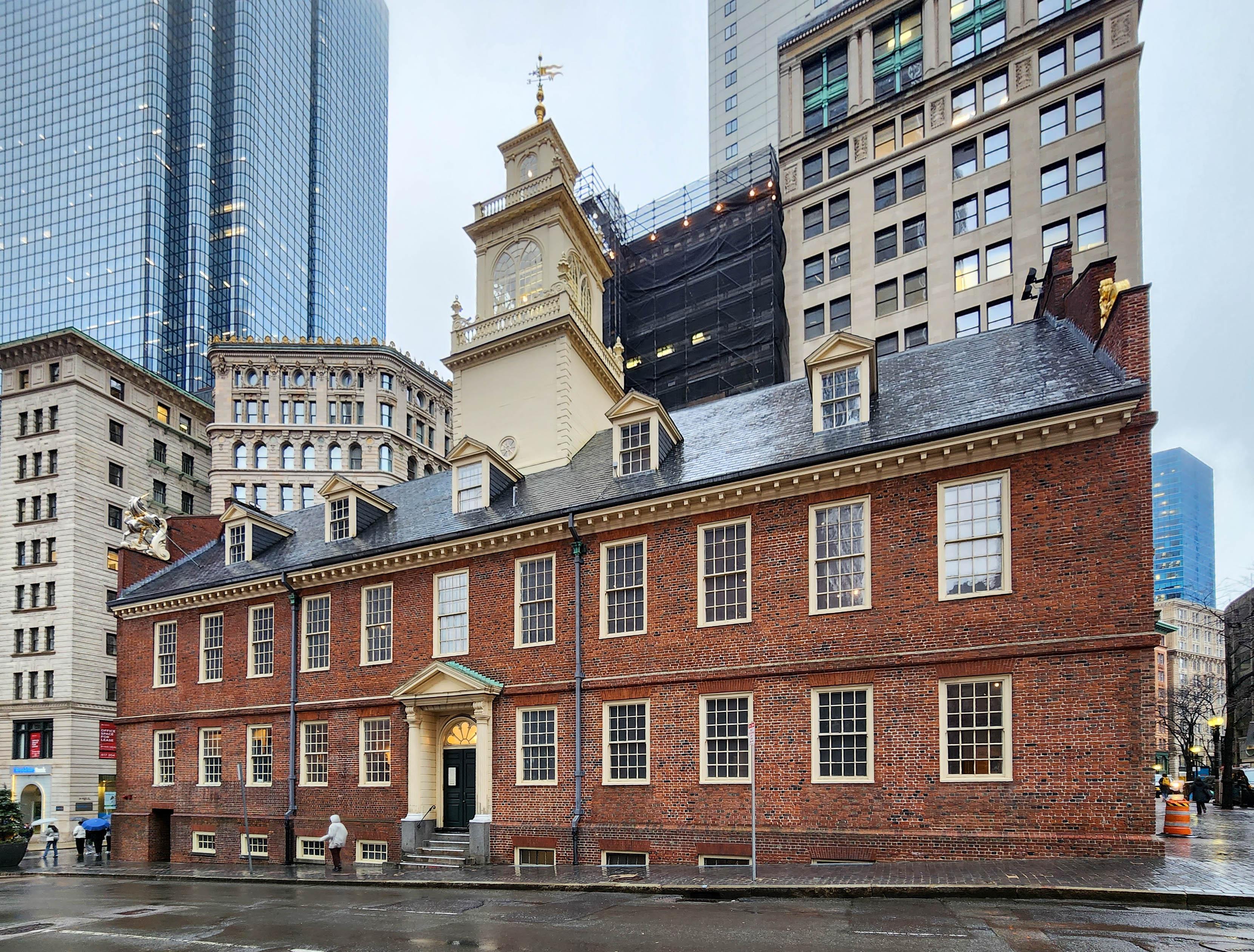
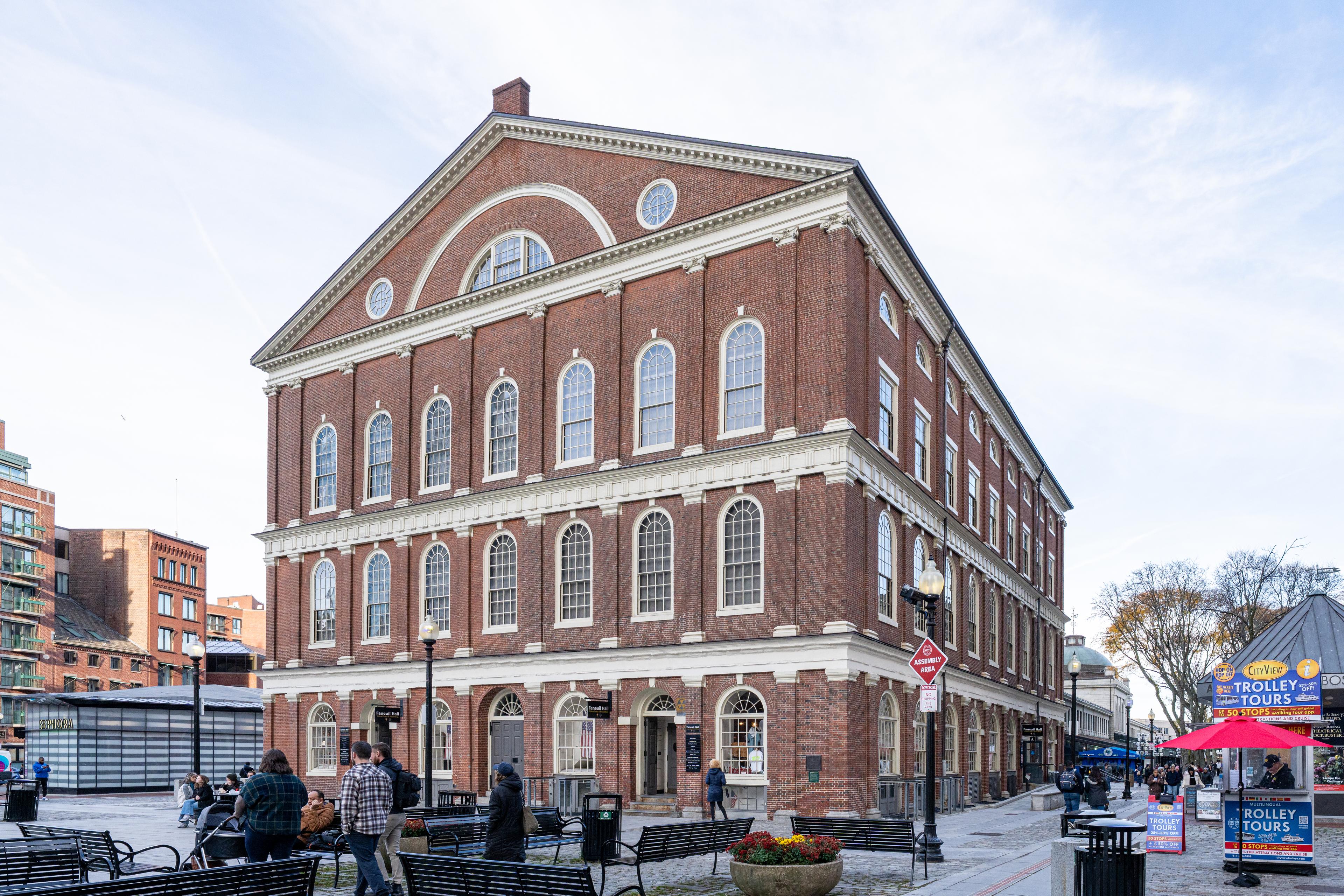
The Freedom Trail solved a simple problem with a brilliant idea: paint a line on the sidewalk connecting Boston's scattered Revolutionary sites, and let visitors walk the story of American independence in order. Stretching 2.5 miles from Boston Common to Bunker Hill, the trail links 16 historic sites including the Old State House, Faneuil Hall, Paul Revere's House, and the Old North Church, turning a dense modern city into a walkable timeline of the road to revolution.
The History
Boston journalist William Schofield proposed the idea of a marked walking trail connecting the city's historic sites in 1951, arguing that Boston's Revolutionary landmarks, scattered across a dense and confusing street grid, needed a simple way for visitors to find and connect them. The city adopted the idea, and a painted and later brick-inlaid line was laid connecting sixteen sites across downtown Boston, the North End, and Charlestown.
The trail links sites spanning more than a century of history, from the Boston Common (established 1634) through the Old State House and Faneuil Hall, to Paul Revere's House and the Old North Church in the North End, across the Charlestown Bridge to the Bunker Hill Monument and the USS Constitution. Walking the full trail traces the buildup to revolution, the fighting itself, and the young republic's earliest institutions in a single continuous route.
The Freedom Trail Foundation, established later to support the trail's maintenance and interpretation, works alongside the National Park Service's Boston National Historical Park, which manages several of the sites along the route. The trail has become one of the most successful heritage tourism projects in the United States, a model widely studied and imitated by other historic cities seeking to connect their own scattered landmarks.
Through the Years
- 1951
William Schofield proposes the Freedom Trail concept
- 1958
The city formally establishes and marks the trail
- 1974
Boston National Historical Park is established, covering several trail sites
The Archive
 Plate 01
Sign showing the Site of First Public School on the Freedom Trail in Boston.
Swativ28 · CC BY-SA · via Wikimedia Commons
 Plate 02
Freedom Trail path on a red brick sidewalk in downtown Boston, Massachusetts.
Ben Schumin · CC BY-SA · via Wikimedia Commons
 Plate 03
Start of the Freedom Trail in the Boston Common.
Luciof · CC BY-SA · via Wikimedia Commons
 Plate 04
Photograph of the Freedom Trail next to Faneuil Hall.
MamaGeek at en.wikipedia · CC BY-SA · via Wikimedia Commons
 Plate 05
Boston Freedom Trail, made of red brick.
Yaron1m · CC BY-SA · via Wikimedia Commons
 Plate 06
Map of the Freedom Trail.
xiquinhosilva · CC BY · via Wikimedia Commons
Facts & Figures
Route
- Length
- 2.5 miles
- Sites connected
- 16 historic sites
- Marking
- Painted/brick line on sidewalks
History
- Concept proposed
- 1951 by William Schofield
Sites
- Endpoints
- Boston Common to Bunker Hill Monument
- Notable stops
- Old State House, Faneuil Hall, Old North Church
Management
- Overlap
- Boston National Historical Park (NPS)
The Register
- Established
- 1951
- Builder
- William Schofield (trail concept); City of Boston
- Area of significance
- American Revolution; urban heritage tourism
Frequently Asked
How long is the Freedom Trail?
The trail runs 2.5 miles through downtown Boston, the North End, and Charlestown, connecting 16 historic sites along a marked path.
Who created the Freedom Trail?
Boston journalist William Schofield proposed the idea in 1951 to help visitors connect the city's scattered Revolutionary-era landmarks along a single walkable route.
What sites does the Freedom Trail include?
Highlights include the Old State House, Faneuil Hall, Paul Revere's House, the Old North Church, and the Bunker Hill Monument, among sixteen sites total.
Is the Freedom Trail free to walk?
Yes, walking the trail itself is free. Some individual sites along the route charge their own admission fees, and guided tours are available for a fee.